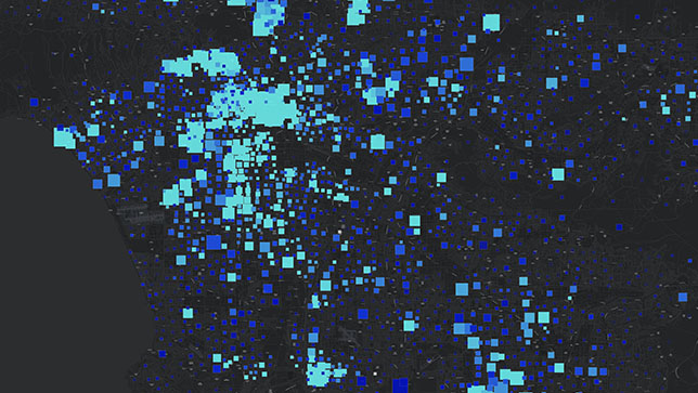
ArcGIS is a comprehensive geospatial platform for professionals and organizations. It is the leading geographic information system (GIS) technology. Built by Esri, ArcGIS integrates and connects data through the context of geography. It provides world-leading capabilities for creating, managing, analyzing, mapping, and sharing all types of data.
Organizations that use ArcGIS to understand and analyze their data in geographic context have a distinct advantage and decision-making edge.
ArcGIS is architected for the enterprise
ArcGIS meets all modern criteria for enterprise-ready technology. It is cloud-based, with a reliable development life cycle, support for standards and specifications, and integration with common IT systems and infrastructure.
Data and maps
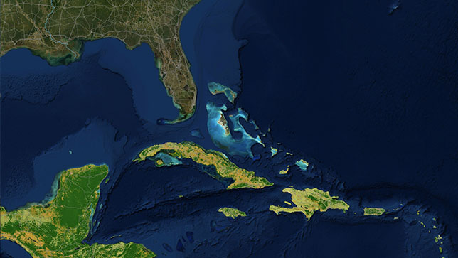
Esri curates the world’s foremost collection of geospatial information. Access thousands of current, authoritative, and ready-to-use maps, apps, and data layers.
Ready-to-use apps
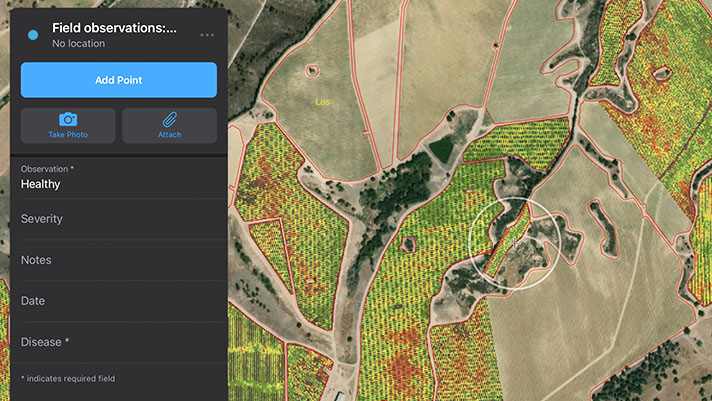
A suite of apps enable ArcGIS to be used on any device, anywhere and anytime. Prebuilt solutions for specific industries, use cases, and workflows are also available to streamline work.
Developer tools
ArcGIS includes access to APIs, SDKs, location services, and other tools to develop custom mapping and spatial analysis applications.